Product
SE Water Field
Boost field operational efficiency, abandon paper and migrate to mobile asset analysis and inspection workflows.
Contact us for a demo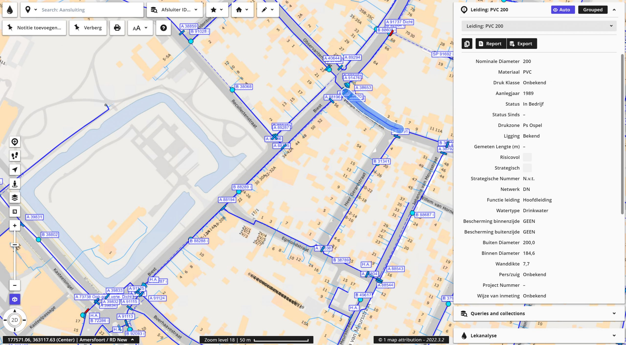
Designed for field crews
SE Water Field is an easy-to-deploy solution that supports water utilities field crews with operational processes like viewing network data, fault analysis and data quality improvement. We specifically designed this product to smoothen and improve work for the water utilities industry.
Intuitive user functionalities
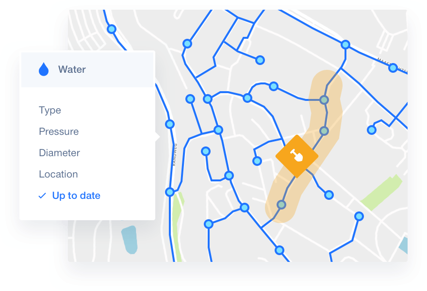
Leveraging the core capabilities of the Spatial Eye product suite, SE Water Field boosts field operational efficiency with intuitive user functionalities. It enables your users to navigate and view your network data, record and share detailed map notes and perform network analysis in the field.
Enable structured cooperation on the map by capturing data such as quality issues or opportunities tagged in map notes. Captured data can be reused in the source systems or as part of a report, visualisation or an analysis.
Developers and system integrators can use our powerful software development kit to build on top of our core technology. Create fit-for-purpose business solutions and help others access data with custom web services.
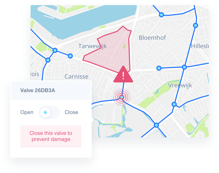
Spatial analysis lies at the very heart of geographic information system (GIS) technology. Use our powerful spatial functions to effectively synthesise detailed data into information by adding routing, topology and spatial relationships to your analysis.

Calculating water flows
Water companies all over the world struggle with identifying cost-effective infrastructure improvements and speeding up accurate network modeling.
Combining Spatial Workshop and Spatial Warehouse, we successfully created an automatic process to remodel source data and fit it to hydrological calculation. Data management processes are reduced from months to days, making calculations accessible in time to drive crucial decisions.
When to replace what
Making informed asset management decisions can save natural gas providers from high costs and executing inefficient asset replacement plans.
By integrating various data sources and adding separate knowledge rules, we created a total overview to access technical characteristics and calculate expected lifetime and lifetime reduction of the asset infrastructure.
Contact us
Getting in touch is easy
Curious to hear more about what we can offer? Don't hesitate to fill out the contact form and get in touch.
or contact tech supportContact us
Getting in touch is easy
Curious to hear more about what we can offer? Don't hesitate to fill out the contact form and get in touch.
or contact tech support
Our contact details:
Spatial Eye B.V.
Venusstraat 19
4105JH Culemborg GLD
The Netherlands
info@spatial-eye.com
VAT ID: NL814649968B01
Chamber of Commerce registration: 11062368