'/%3E%3C/svg%3E)

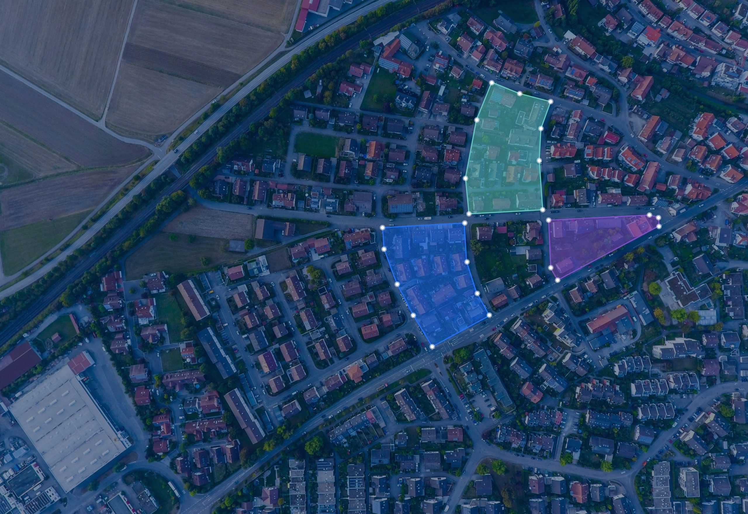
Take the lead with data-driven decisions in your industry
- We partner with
-

-

-


Improve your company processes with powerful products & solutions
- Our customers
-

-

-

-

-

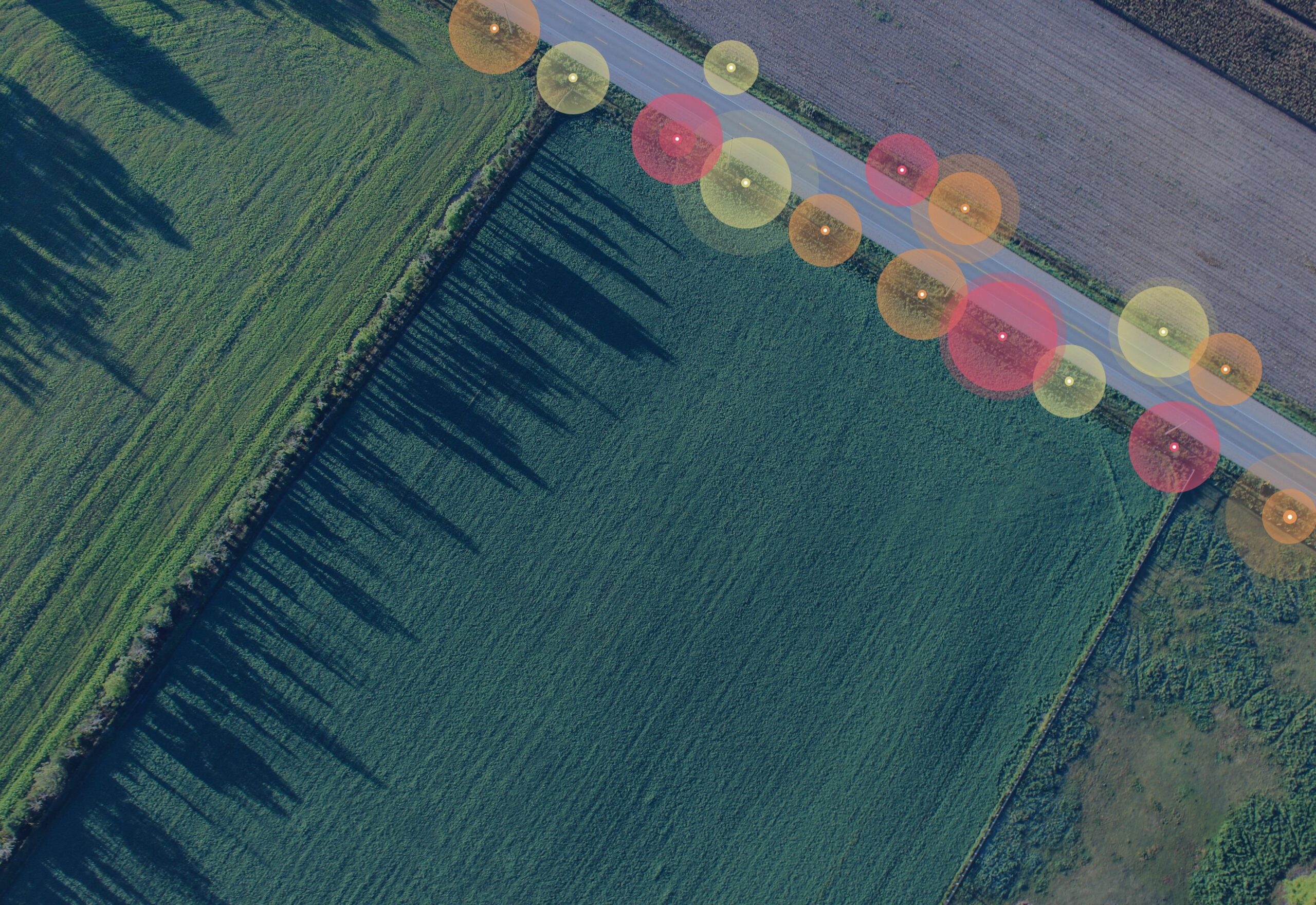
Discover our unique capabilities to transform your business
- Built with
-

-

-

-

-

Data contains answers
Translate your data's potential into an industry advantage today using our powerful product suite and business solutions.
Electricity
Streamline operations and accelerate the energy transition through data-driven decisions.
Telecom
Make smarter decisions that secure the future of your cable, wireless and wireline network.
Water
Manage our most precious resource by turning infrastructure challenges into opportunities.
Gas
Ensure safety and compliance by identifying risk locations and prioritizing accordingly.
Public Works
Effectively coordinate work in the public domain and prevent damages to underground utilities.
Our powerful capabilities
Leverage our unique set of capabilities to solve your daily challenges.
Real-Time Tracing
Perform real-time network tracing with zero wait time on ingested connectivity data. Rapidly identify affected assets, assess network impact, and respond to planned and unplanned outages, enabling faster resolution, improved reliability, and confident operational response.
Network Connectivity
Leverage network connectivity data ingested from GIS asset registers and make it readily available for business applications. Proprietary connectivity models are unified into an open, accessible model that supports integration, analysis, and informed business outcomes.
Time-Based Insights
Leverage powerful time travel capabilities to access data across past, present, and future states. Understand how information has changed over time, analyze trends with confidence, and explore future scenarios using consistent, trusted data for better planning and decision‑making.
Geo-Enabled Web Client
Use our web-based geospatial client as a powerful front end for business applications and dashboards, enriching them with maps, spatial analysis, and reporting. Use the standard web client or build tailored experiences using our flexible web APIs.
Seamless Integration
Increase flexibility, openness, and cost efficiency by using common web service standards to address integration challenges. Deliver data exactly where it is needed by exposing it through standard or custom web services that support seamless connectivity and reuse.
Data Lineage
Automatically detect changes in integrated data objects and store them incrementally in the native format of the target database. Track data and model changes over time and leverage historical data to support business intelligence initiatives and advanced analytical use cases.
Map-Based Collaboration
Enable structured collaboration on the map by capturing data such as quality issues or opportunities in map notes. This captured information can be reused in source systems or incorporated into reports, visualizations, and analyses to support better decision‑making.
Deployment Excellence
We proudly provide turnkey, proven, and flexible deployment options for our products, enabling your teams to focus on shaping meaningful business strategies from data without the burden of complex installations, ongoing maintenance, or operational overhead.
Smart Solutions
Developers and system integrators can leverage our robust SDK deliver fit‑for‑purpose business solutions. Build custom web services that simplify data access, enable integrations, and empower partners and customers with reliable, scalable capabilities.
Insightful Reporting
Get the important conversations started by sharing reports based on your data. With a wide range of reporting components to choose from and an easy-to-use designer, you can translate data into insight and action in no time.
Geospatial Storytelling
Make geospatial data work for you using our extensive style and design system to create insightful and attractive maps and data visualizations. Analyze, share, and publish results anywhere, on any web-based device, turning geospatial insight into clear communication.
Geospatial Intelligence
Drive strategic execution by embedding high impact, geospatially based insights directly into your operations. Explore your data with geospatial intelligence by performing in-depth analysis using routing, topology, and spatial relationships.
Data Transformation
Easily prepare and unify data by linking multiple geospatial and non-geospatial sources. Reshape datasets with filtering, renaming, and advanced field creation using our versatile expression language. This ensures efficient, enterprise-grade delivery of your data output.
Instant Data Access
Explore, integrate, and analyze data directly from its source without any conversion needed. Our smart query engine takes your business questions and delivers clear, interactive outputs that support diverse use cases, from operational efficiency to strategic decision-making.
Status Data as a Service
Find the current status of our Data as a Service backend here.
Spatial Analysis
Spatial analysis lies at the very heart of geographic information system (GIS) technology. Use our powerful spatial functions to effectively synthesise detailed data into information by adding routing, topology and spatial relationships to your analysis.
Mapping & Visualization
Let spatial data work for you by using our extensive style & design system to help you create insightful and attractive maps and data visualisations. Analyse and publish them anywhere on any device.
Data Shaping
Prep data with ease and create integrated data layers by building relationships between multiple data sources. Reshape existing data by filtering, renaming and creating derived and aggregated fields using our powerful expression language.
Reporting
Get the important conversations started by sharing reports based on your data. With a wide range of reporting components to choose from and an easy-to-use designer, you can translate data into insight and action in no time.
Solution Development
Developers and system integrators can use our powerful software development kit to build on top of our core technology. Create fit-for-purpose business solutions and help others access data with custom web services.
Easy To Deploy
We take pride in offering turnkey, proven and flexible deployment options of our products, allowing your people to focus on developing actual business strategies with your data rather than dealing with the hassle of complex installations and maintenance.
Data Collection
Enable structured cooperation on the map by capturing data such as quality issues or opportunities tagged in map notes. Captured data can be reused in the source systems or as part of a report, visualisation or an analysis.
Track Data Changes
Changes in integrated data objects are automatically detected and incrementally stored in the native format of the target database. You can track data, model changes and start leveraging historical data for business intelligence and analytics.
Native Data Access
Connect to your data natively to explore, integrate, analyse and report without the need of extracting the data from its source. Our powerful query engine converts your question into an efficient data source request after which our interface makes your data easy, approachable and interactive.
Service-based Integration
Increase flexibility, openness and cost-efficiency by using common web-service standards to overcome integration challenges. Deliver the data where you need it to go by exposing it either as a standard or custom web service.
Introducing our products
Engage with our extended portfolio of geospatial, data ingestion, and business intelligence products.
SE NetCon
Go beyond GIS with trusted network connectivity, unlocking topology-based insights for faster action and greater operational impact.
SE NetPlan
Transform network planning and design with network intelligence, future-ready scenarios, and collaborative decision-making.
SE Address Portal
Introduce address master data management into your organization with SE Address Portal and establish an address single source of truth.
SE KLIC
Our intuitive end-to-end solution to help network operators and contractors prevent excavation damage. SE KLIC is an extensible call-before-you-dig framework, implemented to cover workflows in the Netherlands (KLIC) and Belgium (KLIP KLIM).
Spatial Workshop
Empower all layers of your organization with attractive spatial and non-spatial visualization, query, analysis and reporting capabilities.
Spatial Workshop Lite
Spatial Workshop Lite is an easy-to-use web application that lets you use attractive maps, queries, analyses and reports built from spatial and non-spatial data.
Spatial Warehouse
Spatial Warehouse is our popular turn-key ETL application that translates your spatial and alphanumeric data into comprehensible output for further analysis.
SE Data as a Service
Synchronise data from open and paid services and model it to fit your needs and store it in your enterprise database.
Contact us
Getting in touch is easy
Curious to hear more about what we can offer? Don't hesitate to fill out the contact form and get in touch.
or contact tech supportContact us
Getting in touch is easy
Curious to hear more about what we can offer? Don't hesitate to fill out the contact form and get in touch.
or contact tech support
Our contact details:
Spatial Eye B.V.
Venusstraat 19
4105JH Culemborg GLD
The Netherlands
info@spatial-eye.com
VAT ID: NL814649968B01
Chamber of Commerce registration: 11062368